year 1933
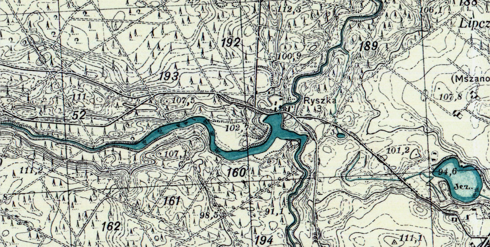
Military map.
now
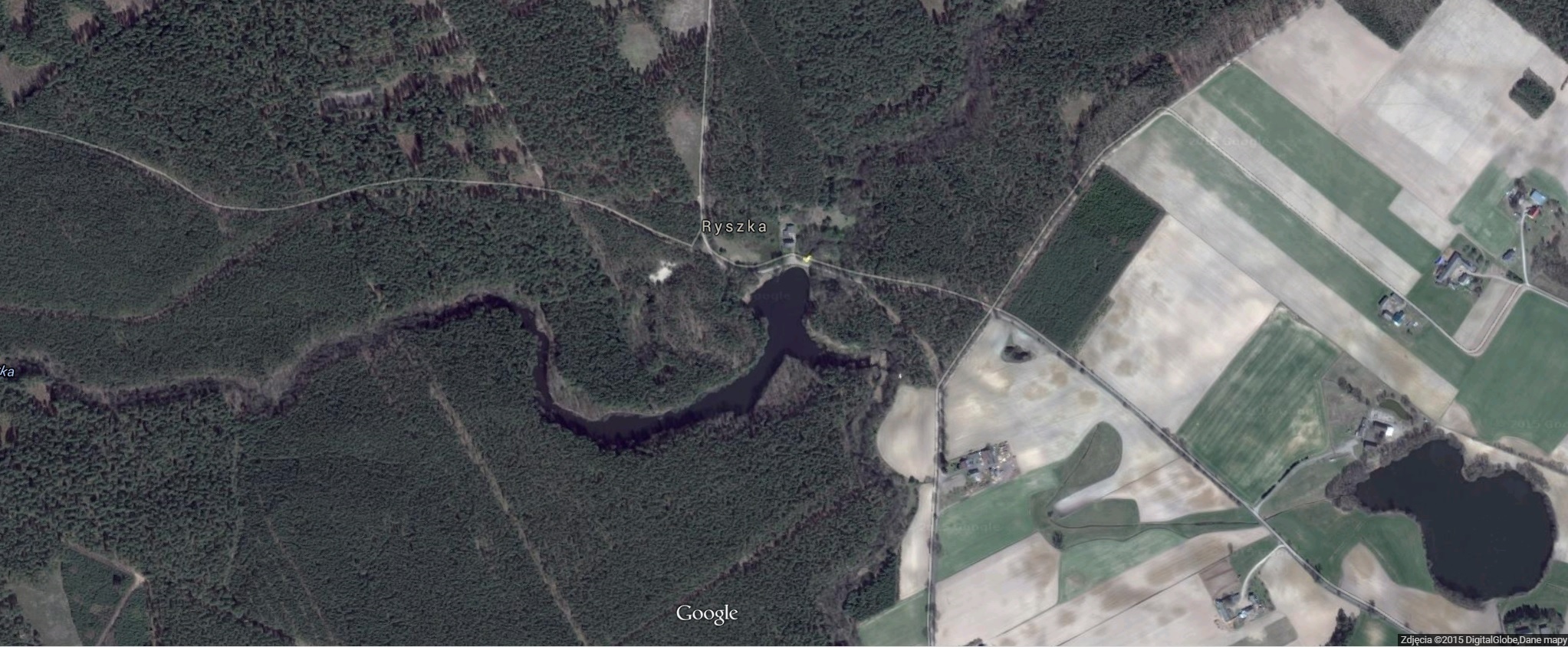
Satellite image.
History
On military map from 1933 you can see buildings of Ryszka village. Currently (satellite photo) there are only traces of those buildings.
Military map.
Satellite image.
In place of the current hydroelectric power plant there was a water mill, which is located on the Schroetter map from 1802-1806. Probably settlement in this place already existed earlier.
Before World War II next to Mill was a wooden bridge. Bridge fulfill important function for
local residents. Local people used it for ...
shindig. On warm days in moonlight people used to dance here.
It is widely believed that the mill and sawmill were destroyed during the last war - but it is
not true. The settlement existed even after the war, however, the reason why it was abandoned is
not entirely clear now. According to some information, the reason for the slow degradation of
the place were quarrels and strife of its inhabitants.
If you have any photos or information about how Mill and life in Ryszka looked in the past, send us a message.